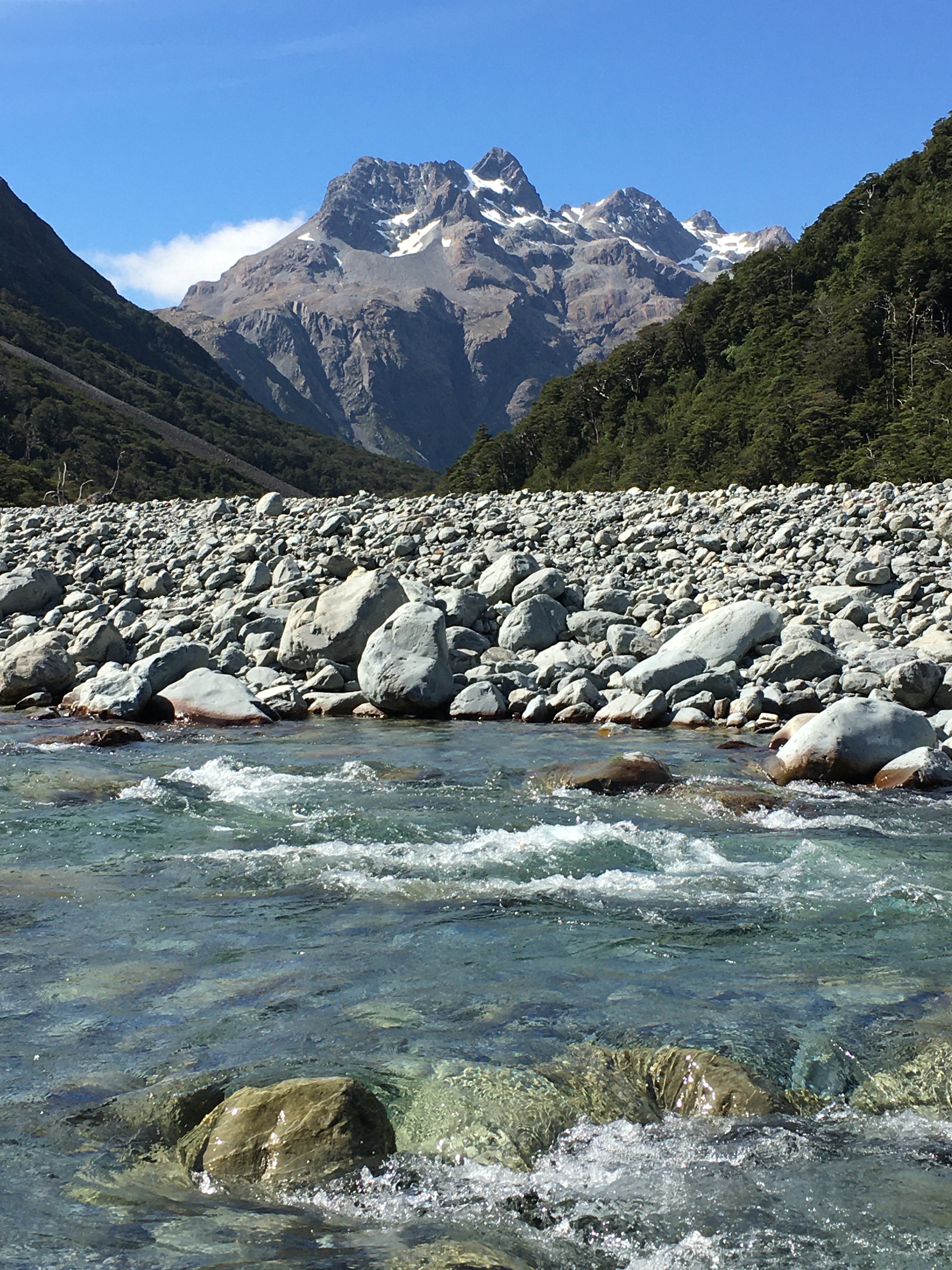
Last weekend, my husband and I got out for a tramping trip in the Two Thumb Range, in Te Kahui Kaupeka Conservation Park. We parked on Rangitata Gorge Road at Forest Stream, then slogged two hours up the road to Bush Stream—not a very exciting start, but better then than at the end of the tramp. We followed Bush Stream Track up the stream to Crooked Spur Hut. The stream flows through some pretty spectacular scenery, and you ‘get’ to cross the stream quite a few times before a steep climb to the hut.
Crooked Spur Hut is one of several historic musterer’s huts in the area. It’s old and the walls are full of holes and rats. We opted to sleep in the tent, but we hung out in the hut, since we had it all to ourselves.

On the approach to the hut, a kea came to investigate, watching us climb the hill. It must have invited its friends later, because shortly after dark, while I was reading in the tent, I heard the thump-thump-thump of a couple of kea bouncing around outside. I shooed them away, knowing their penchant for mischief, and eventually they got the hint and left.
But by morning the kea had mustered reinforcements. They started about 4 am, thumping around outside the tent, plucking at the tent strings, and calling loudly right by our heads. By 5 am, we were up out of a sense of self-preservation, retreating to the hut to start our day.
When I stepped out of the hut a few minutes later, there were three kea, each one working on pulling out a tent stake, and more calling in the darkness beyond. We quickly took down the tent in the dark, before the kea tore it to shreds.
We got the billy boiling to the sound of kea on the tin roof. They seemed to have multiplied. The noise was deafening, and grew louder as dawn approached. Our trips out to the loo were accompanied by no less than three kea, who then sat on the loo roof, peering in through the skylight to watch the show.

Returning from the loo, I counted fifteen kea, most of them on the hut roof, picking at the roofing nails (which thankfully had been replaced with non-leaded ones, because the old lead nails kill kea), and sliding down the tin. It was the most kea I’d ever seen at once. And as obnoxious as the cheeky buggers are, it was the highlight of the trip.

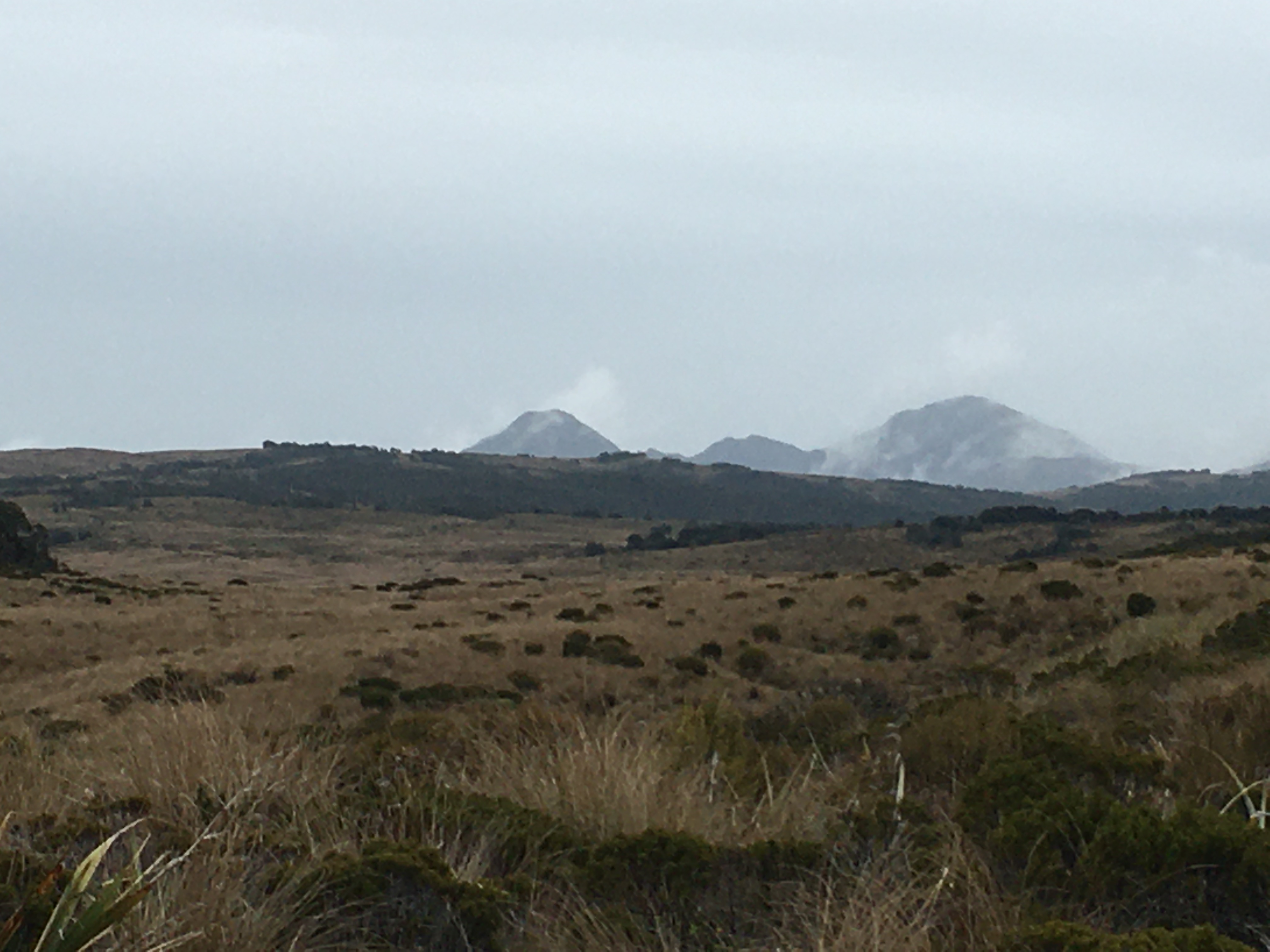
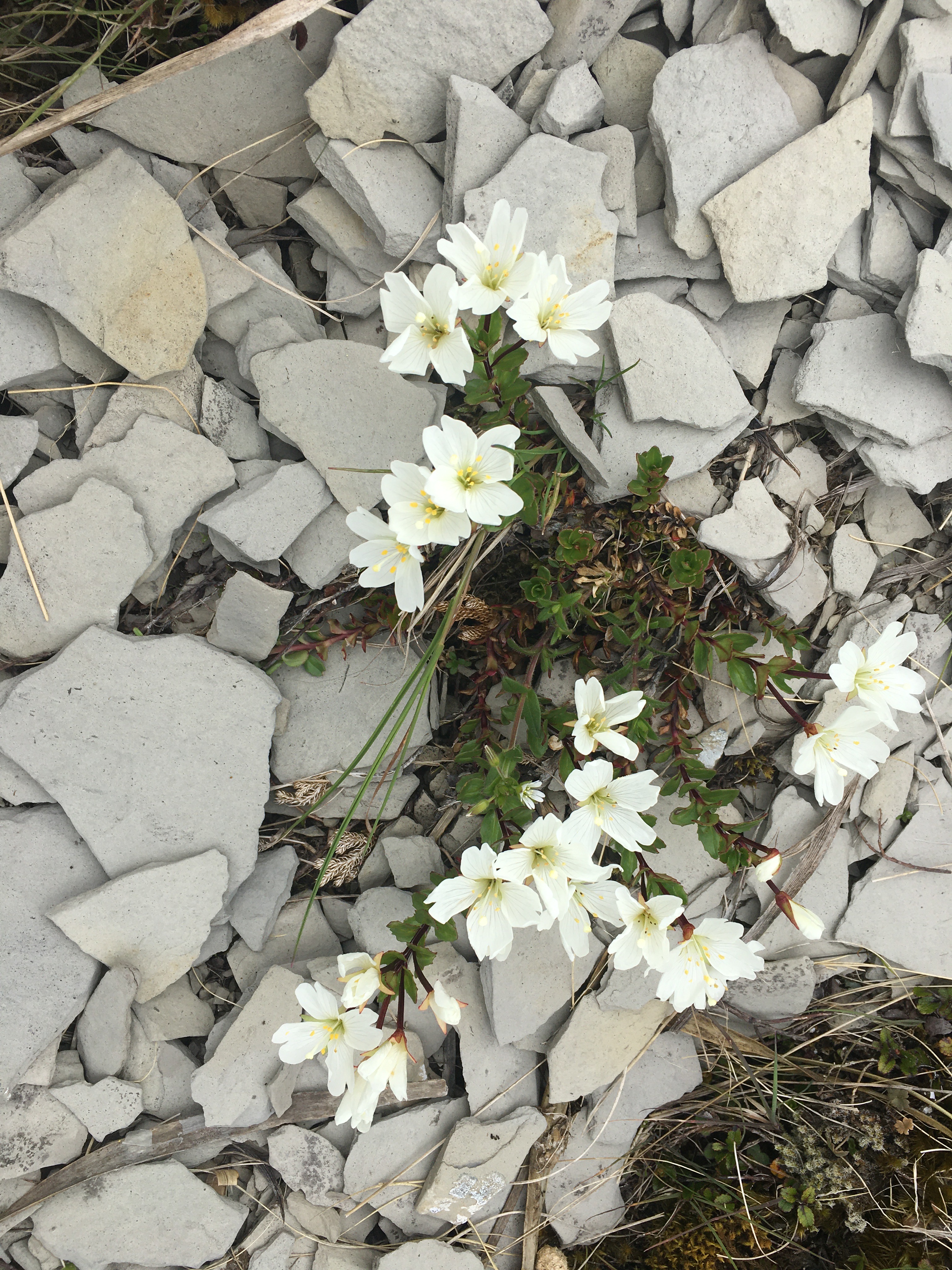
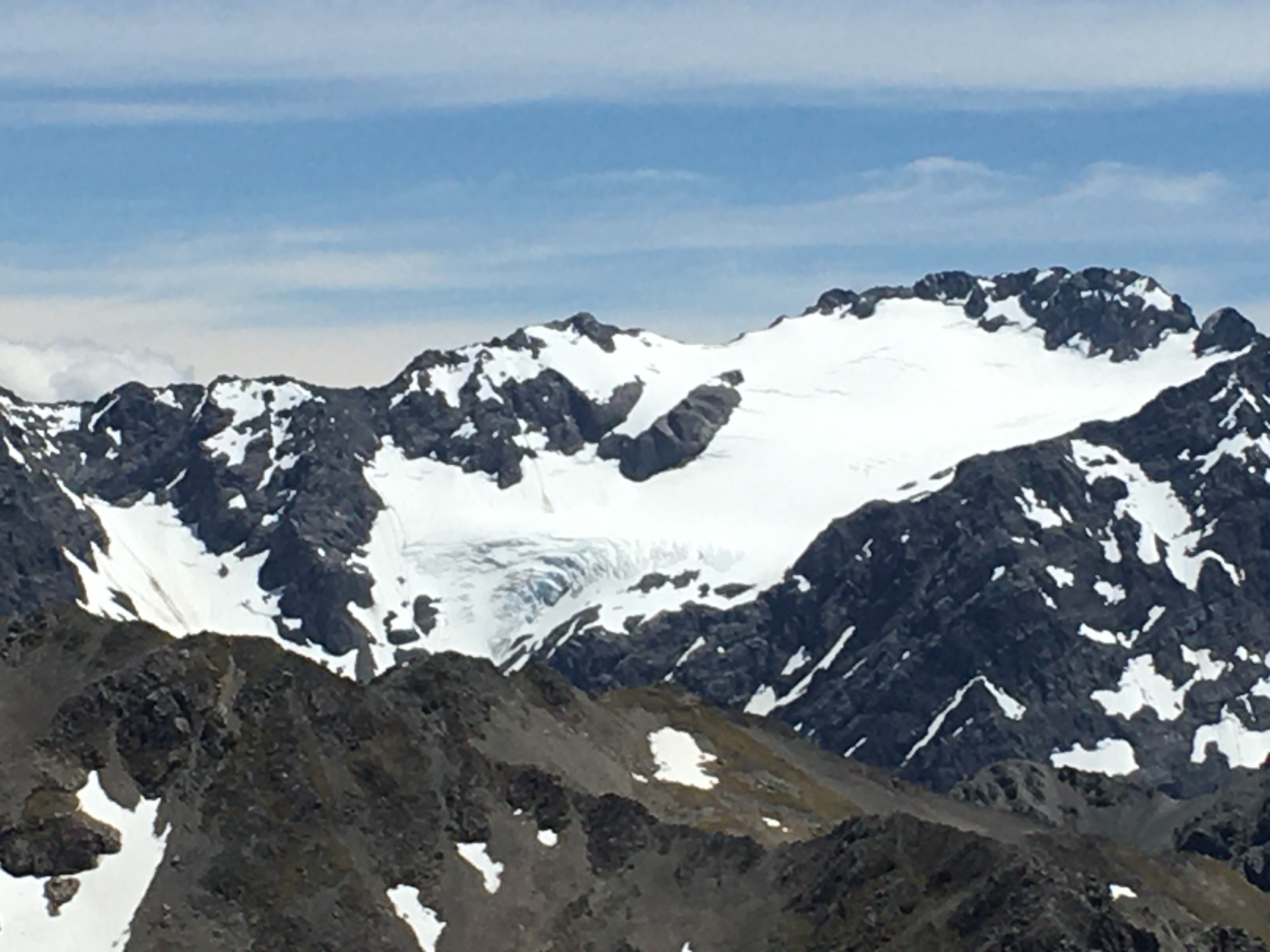
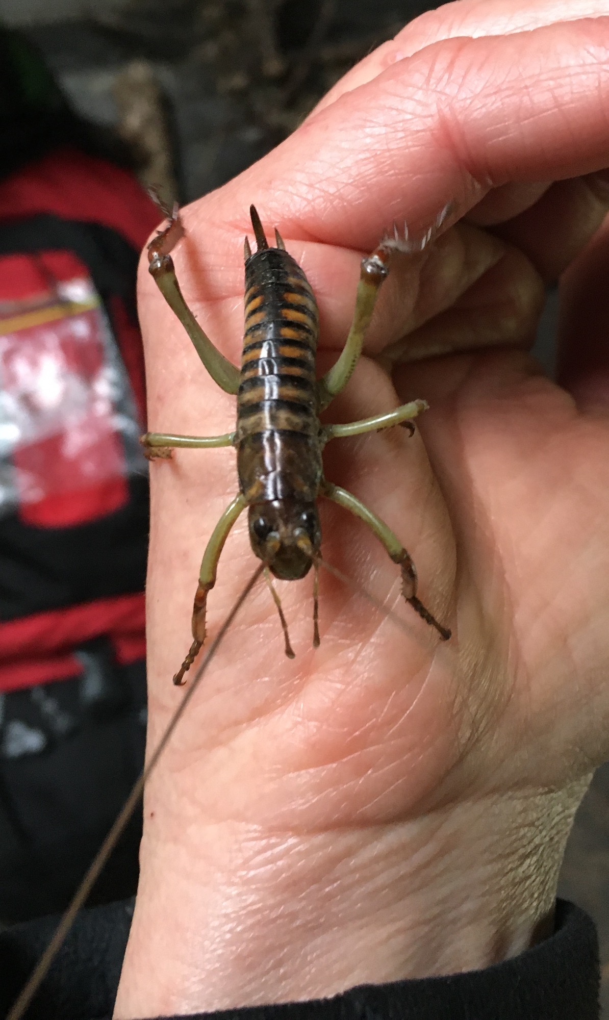
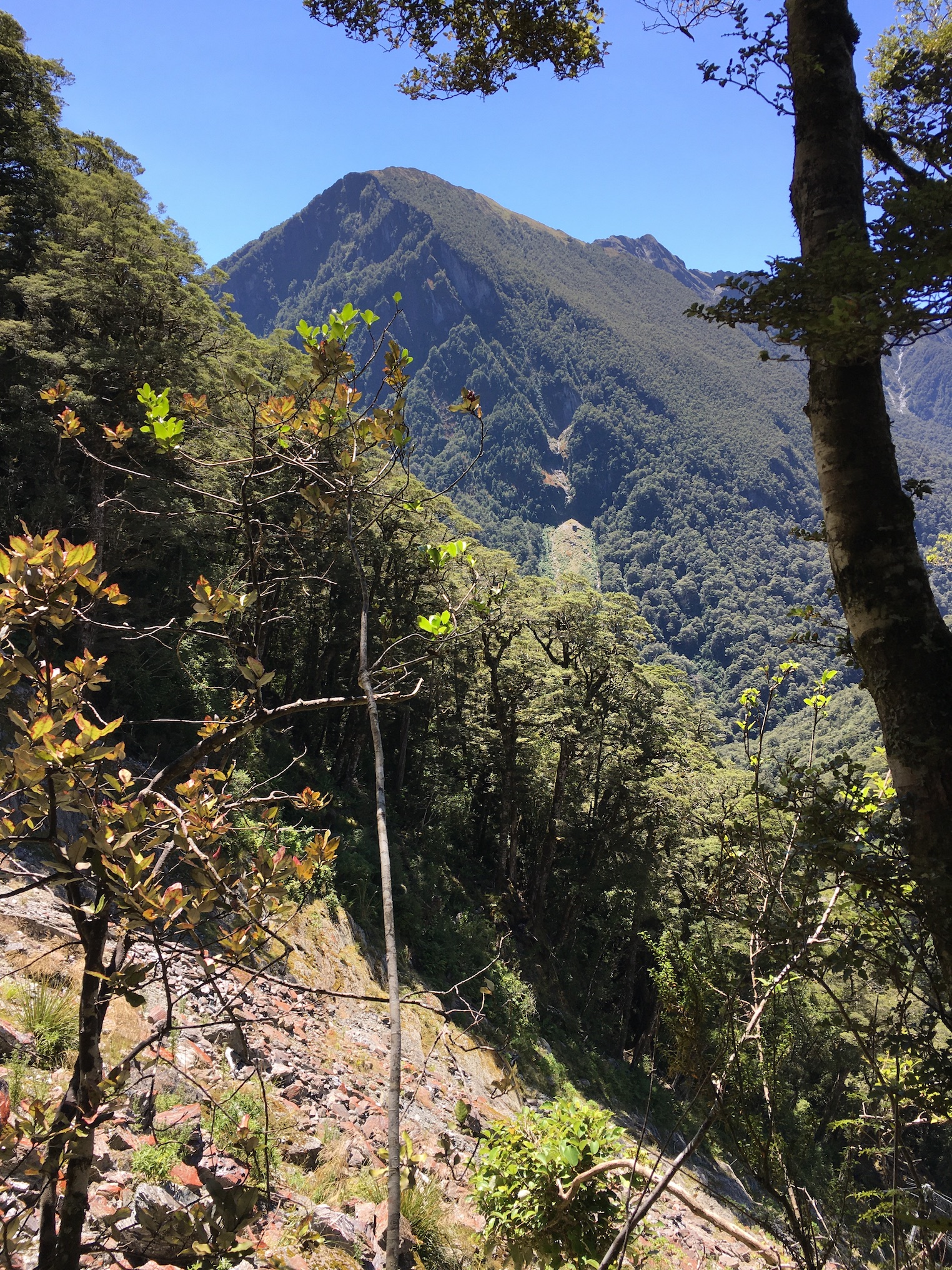
Leaving the kea behind, on day two, we hiked up from the hut through frosty tussocks to a scree-covered saddle where we were treated to some new spectacular scenery—tussock, scree and craggy peaks all around. At Swamps Stream we scared up a herd of 28 tahr—a non-native pest, but cool to see nonetheless. We arrived at Stone Hut at lunchtime, and had a lovely meal next to the stream before carrying on to Royal Hut.

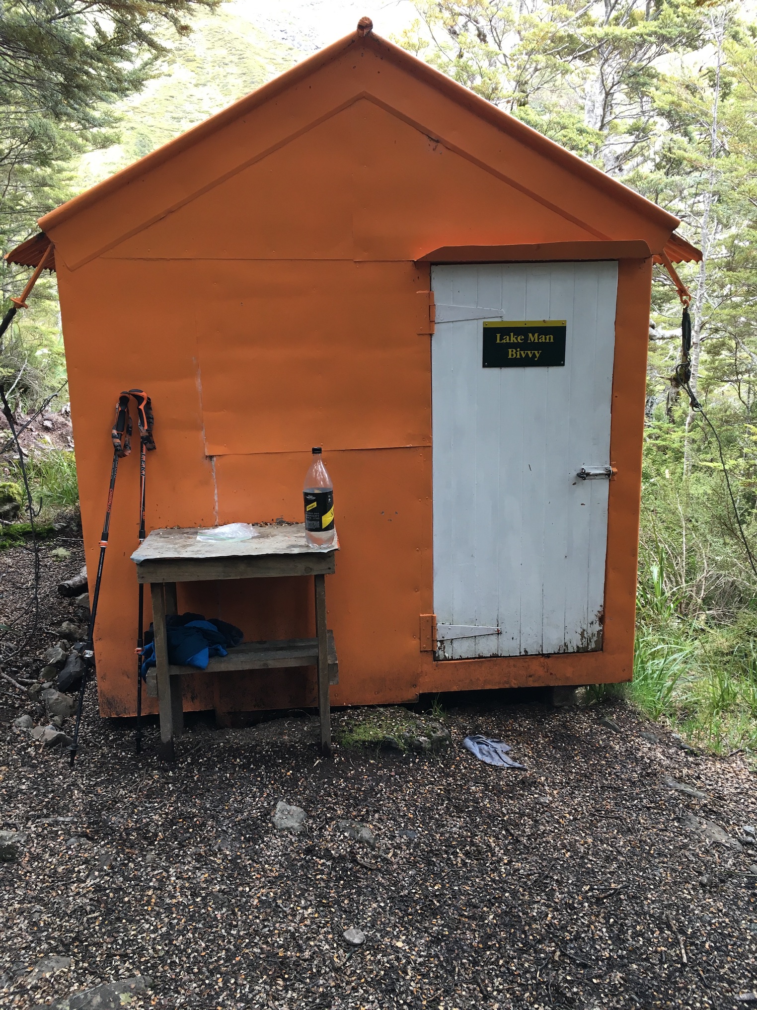
Royal Hut is similar in age and condition to all the old musterer’s huts, but has the distinction of having been visited by royalty. The accounts I’ve found differ in the details—it was either in the 1960s or in 1970, and the royals involved were either Prince Charles and Princess Anne, or Prince Charles and Princess Diana (Diana being highly unlikely, given the date range suggested for the event).
In any case, it is said the royals zipped in by helicopter for a ‘brief’ visit. I doubt they spent the night. With mice scrabbling over our packs within 15 minutes of our arrival at the hut, we opted for the tent again.

The morning of day three was fine and frosty (with frost inside the tent!). The DOC signage indicated we had an 11-hour hike to the road, and with daylight only being 11 hours or so long at this time of year, we made an early start, as soon as it was light enough to see the track.
We warmed up quickly, with the first leg of the day being a climb to Bullock Bow Saddle.
By the time we reached the saddle, I knew I’d pushed too hard over the previous couple of days—my left knee was stuffed, and hurt with every step.
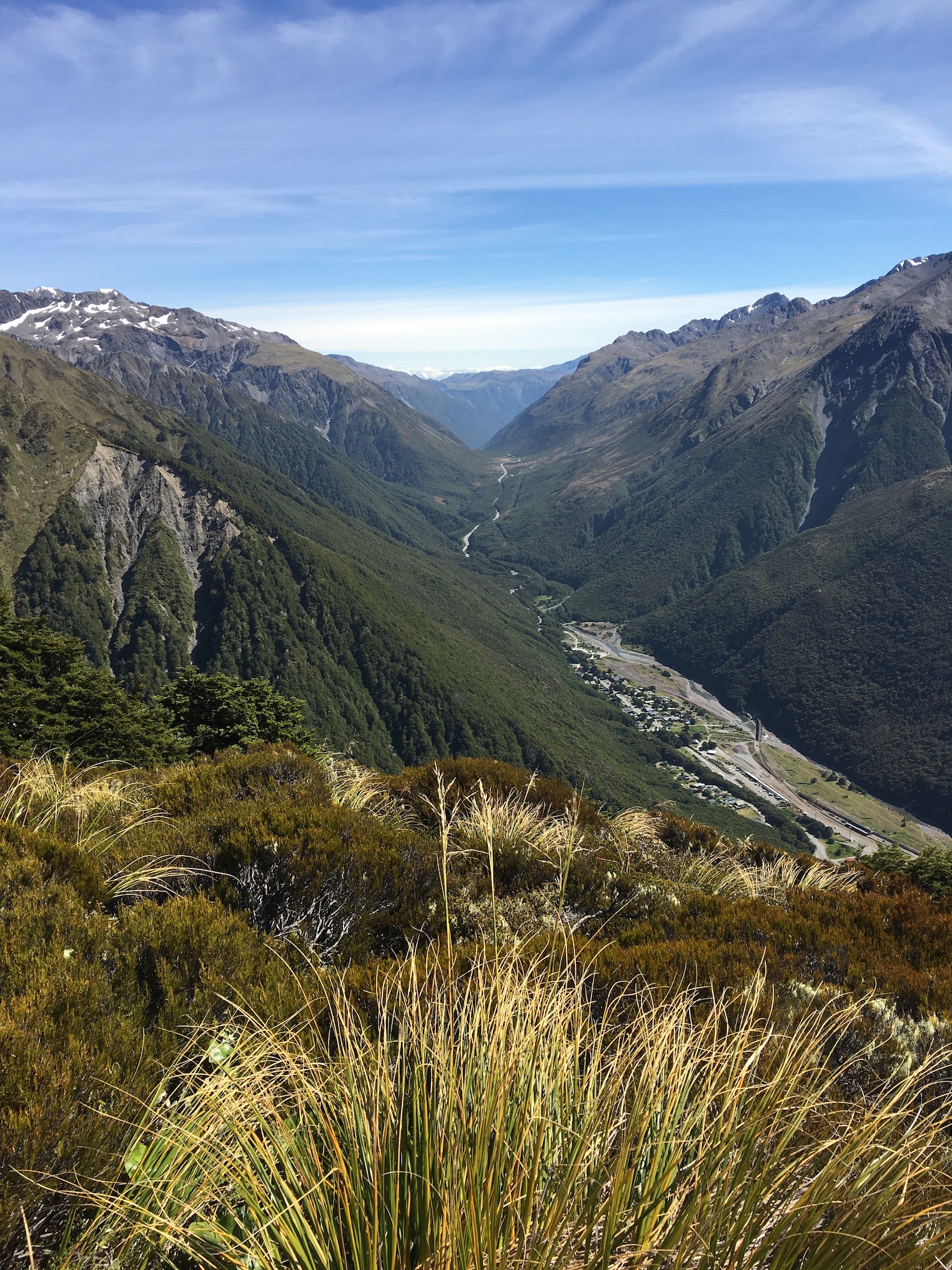
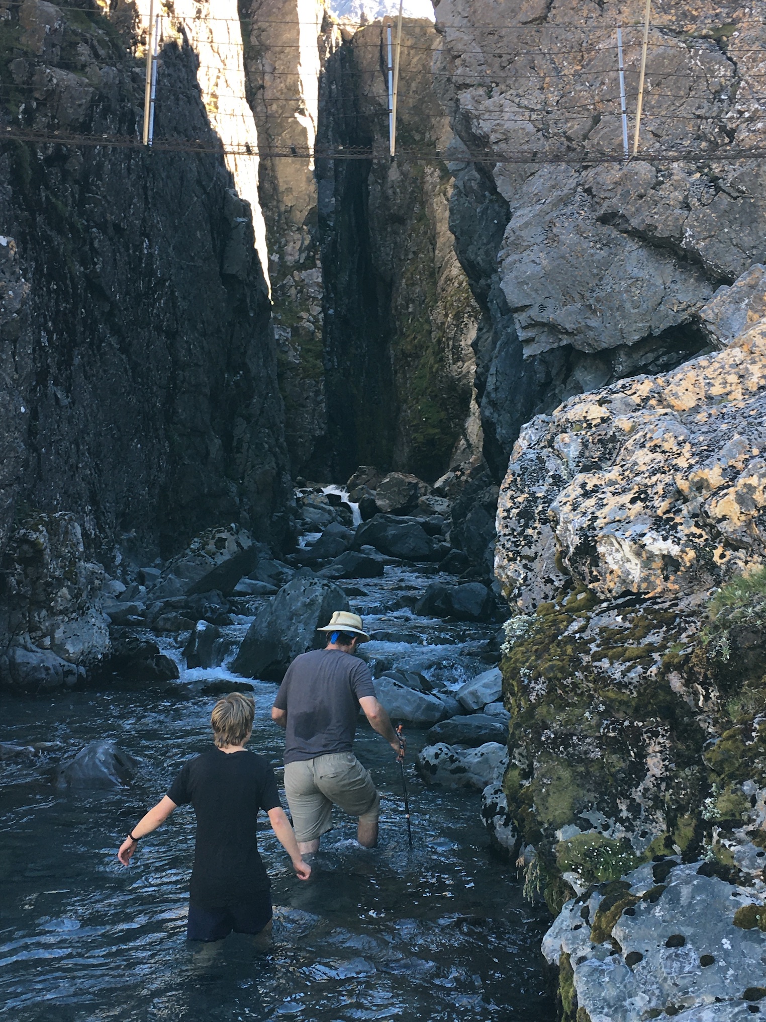
It was a loooong 14 or 15 km from there to the road—the first few kilometres steeply downhill, then a long slog down the Forest Creek riverbed.

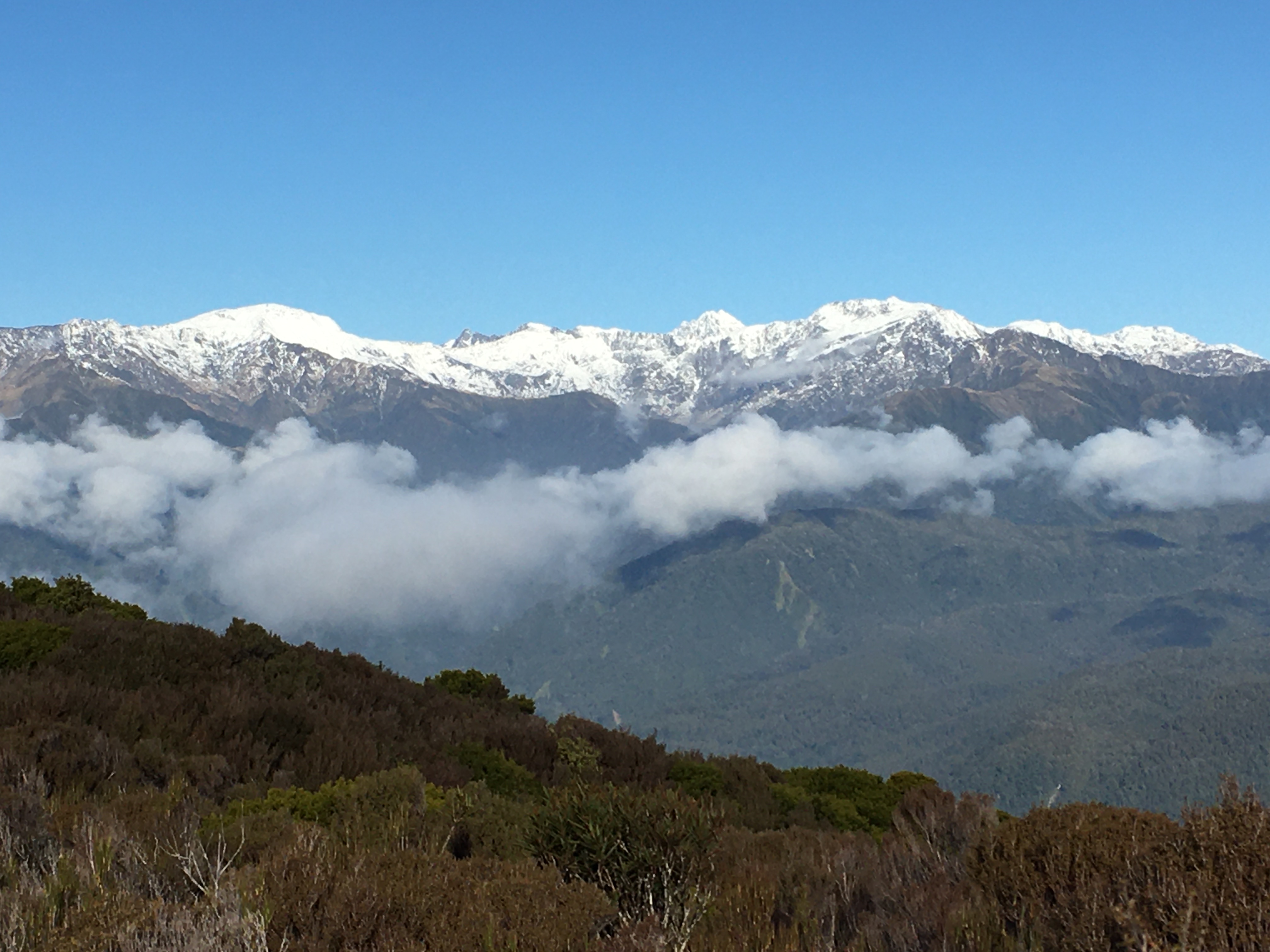
Still, we made it to the car well before dusk, and enjoyed more spectacular scenery (and a few more river crossings) along the way.
Overall, a fun long weekend! Spectacular views, awesome wildlife, and some real character huts. And the weather couldn’t have been better.